
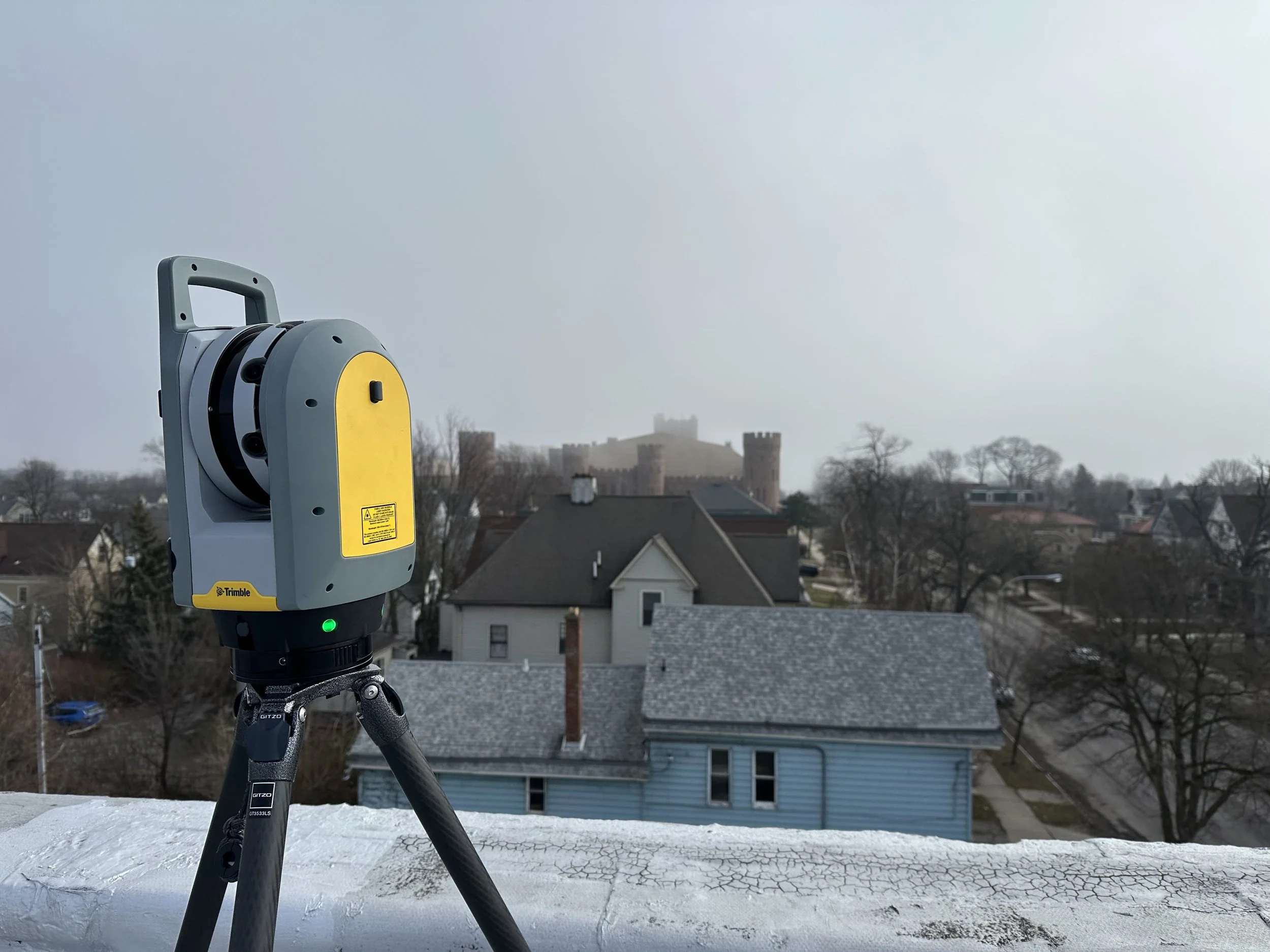
LiDAR
Construction & Development
LiDAR for Construction & Development
LiDAR technology allows for quick, efficient, and accurate mapping of an area, providing the user with “point cloud” data that can be utilized in creating 2D and 3D drawings and models.
LiDAR technology offers many benefits throughout a project’s lifecycle, from design to construction, and finally operations, retrofits, and renovations.
Design: Capture detailed information accurately and efficiently to kick off and manage the process early.
Construction: Collision detection helps avoid conflicts between systems such as HVAC, electrical, and plumbing, reducing the necessity of change orders and helping to keep your project on time and on budget.
Operations, retrofits, renovations: Create a permanent as-built record for owners and facility managers to help with building operations, future additions or renovations, and even demolitions.

Benefits of LiDAR in Construction
Improves quality & accuracy:
Allows for a higher level of precision compared to measuring by hand.
Provides exceptional, detailed data.
Provides immediate information:
Once you’re finished scanning and you have created your digital twin you are able to obtain any information needed.
Able to get measurements off the tablet before you even finish scanning.
Reduces costs:
Gather measurements and images at the same time.
Able to capture more information and in less time than by hand.
Reduces manual labor:
The high quality data produced during scanning helps to reduce rework, cutting costs from manual labor.
Streamlines coordination:
Able to share a digital twin model with different people to make sure a project is running smoothly.
Allows you to avoid conflicts later on in a project.


Digital Twin
LiDAR scanning produces a digital twin, a digital replication of a physical asset in the virtual environment. This highly accurate virtual model may be used to gather information or measurements that are needed during the projects lifespan.
Creates a shared platform for exchange of information, task coordination, and decision making.
Provides construction teams with real-time information to respond quickly to necessary changes.
Aides in identifying potential clashes between structural elements, systems, or equipment early in the design process.

Collision Detection
Production of the digital twin provides construction teams with valuable information regarding potential clashes between structural elements, systems, or equipment. These detailed visualizations for projects help to identify potential issues before any physical work begins, which can lead to cost savings.
Virtually identify locations for MEPs to avoid conflicts and construction issues from arising, avoiding costly rework.
Early identification of potential clashes can be addressed quickly and solutions expedited to reduce downtime and additional expense.
Ensures the smooth installation of systems to reduce project delays.

BIM
BIM, Building Information Modeling, is a digital representation of the physical and functional characteristics of a facility. BIM is focused specifically on the design and documentation of buildings, aiding in streamlining the design and construction process.
Allows users to analyze potential design performance and optimize design decisions for real world application, which can reduce energy consumption and environmental impact.
Improves quality and safety through detailed visualization and simulation of construction processes.
Provides a 3D model for the tracking and monitoring of an asset throughout its lifecycle, from design to construction, operations, and maintenance.